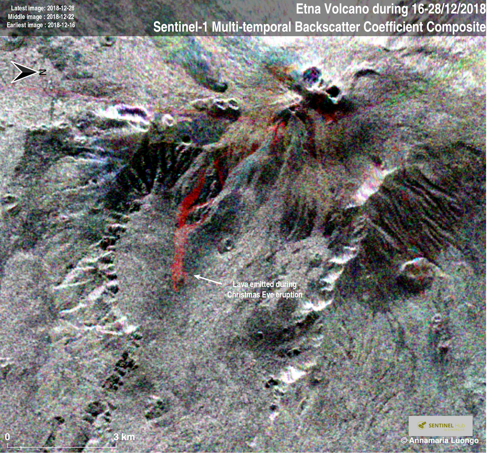
Show script or download{:target="_blank"} it.
{% highlight javascript %}
{% include_relative script.js %}
{% endhighlight %}
For the interpretation of results, you can use The Synthetic Aperture Radar (SAR) Handbook: Comprehensive Methodologies for Forest Monitoring and Biomass Estimation, 2019: table 3.1 page 66.
The book is available for free here.{:target="_blank"}
The script visualizes Earth surface in False Color from Sentinel-1 data.
It helps in maritime monitoring (ice monitoring, ship monitoring,...) land monitoring (agricolture, deforestation,...) and emergency management (flood monitoring, volcano monitoring, ...).
Annamaria Luongo{:target="_blank"}
